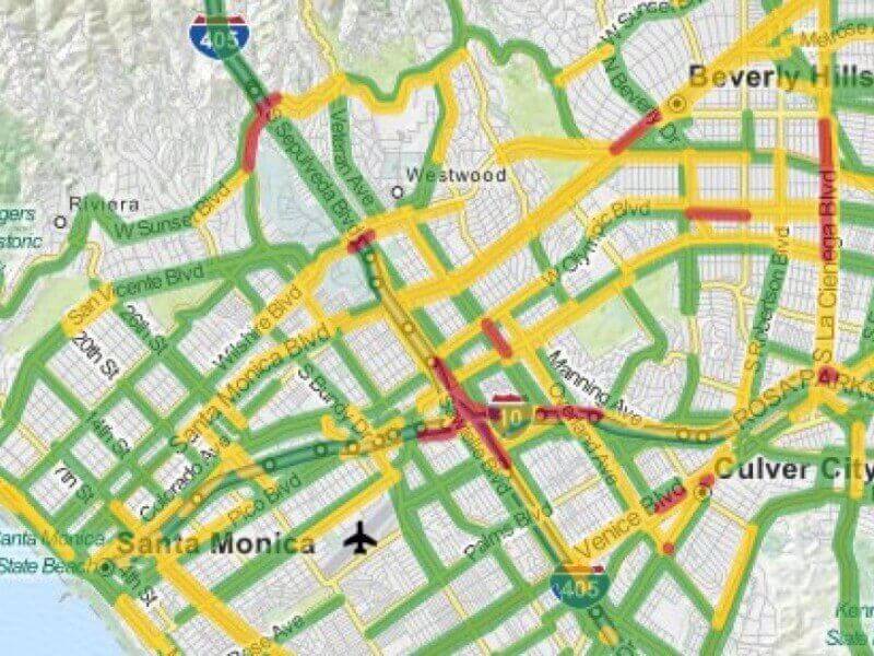
Getting a Google Maps traffic update before leaving for work is not a big deal for you, but have you ever wondered how Google tracks live traffic. There is no rocket science behind this, but Google has to do a lot of hard work, just to serve you the real-time traffic updates in your area.
Google gathers GPS data it receives from Smartphone and uses it to analyse their speed and location. Google has assigned different colours for different traffic congestion levels, like red is for heavy traffic. So, if more Smartphone are there at one place (obviously on the road), the colour of the maps overlay changes to red. Google’s intelligent algorithms exclude vehicles like Postal Vans, as they take more frequent stops and may alter the traffic data.
Google also crowd sources location data from telecom companies. These telcos monitor user location data by a method called Trilateration, in which the distance of a user measured between two or three surrounding telecom towers is used to analyse the speed and location of the user.
The minds behind the working of Google Traffic are ZipDash, a traffic analysis company that Google bought in 2004. Google added ZipDash’s technology to Google Maps and started providing live traffic updates.
After tracking and analyzing the location data for a particular trip, Google permanently deletes it from its servers. Google also offers an Opt-out option, in which if a user is concerned about his privacy, he can stop his location tracking by Google Maps servers. Google stated:
“Once you disable or opt out of My Location, Maps will not continue to send radio information back to Google servers to determine your handset’s approximate location”.
So, wherever you’re, next time when you’ll use Google maps for live traffic updates, you’ll praise Google’s efforts for the accuracy and speed they provide while tracking the live traffic for you. Google has played a major role in making our lives simpler. One can’t imagine internet without Google. In fact, Google is the internet for most of us.


